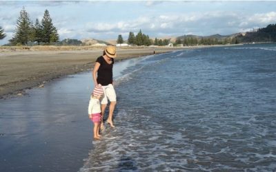
We recently spent over two months in the Bundaberg region. As a keen hiker, one of the first things I noticed was the flatness of the landscape in that area. Sure, there are some lovely coastal walks, but what I really need are hills and mountains.
Don’t worry, I’ve got you sorted!
I always find places to hike, no matter where we go on our full-time slow-travel lifestyle. So today, I’m sharing some of the best hikes in the Bundaberg region. You’ll need to travel a little, but they’re all doable in a morning, afternoon, or just a bit longer if you’re driving from Bundaberg. I hope you enjoy them as much as I did!
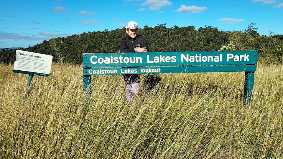
Coalstoun Lakes National Park
The Coalstoun Lakes National Park hike is just under 90 minutes drive from Bundaberg. It’s a 3.3km easy-moderate, out-and-back trail that took us about 1 hour and 45 minutes at a relaxed pace. We always take time to enjoy the views and our snacks!
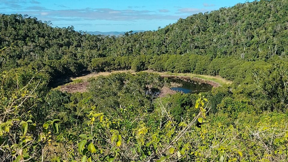
There’s a small car park, from which you walk up a steady gradient to the top of Mount Le Brun for lovely views down to an ancient crater lake.
Disclaimer: We read the reviews before this walk, and many people said the lake had no water when they visited. There was water during our visit, but not a huge amount.
The trail continues down to the crater lake and partially around it. A couple of hides provide a nice spot to observe the lake’s birdlife. The track can be a bit overgrown in places, but we found it easy enough to follow.
Mount Woowoonga
Mount Woowoonga is a good option if you’re looking for hikes in the Bundaberg Region. It’s about 89km away, or a 1-hour and 20-minute drive (or about 45 minutes from Childers).
This grade 4 track is 5.6km long with 550m of elevation gain, so it’s a nice challenge if you want a bit of a leg workout!
Although it’s not far from Mount Walsh, it’s lesser known, so I didn’t see a single other person all morning.
I did, however, come across a python lying right in the middle of the trail, near the start of the track. I was powering forward and very nearly stepped on it.
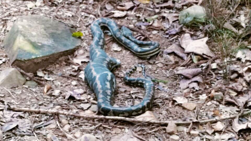
Maybe it wasn’t going to move very quickly with the large amount of undigested food in its belly (check out the photo!), but I gave it a wide berth anyway.
It was still there on the way down, but just to the side of the track—almost missed it again!
The track starts from a small car park without facilities. There’s a picnic bench, but that’s it.
Something else I would have liked to have known before visiting is that you need to drive 8km along a gravel road to reach the car park. My little 2WD managed ok, but an off-road vehicle would be more ideal.
The trail climbs steadily up, and then gets steeper near the summit, where you need to do a little scrambling. The track is pretty easy to follow if you keep an eye on the markers, although I got slightly off track in the scrambling section on the way up.
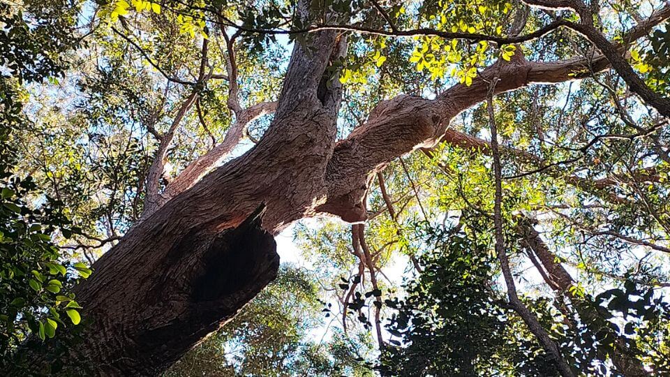
There’s tree coverage the whole way up, making this hike more doable than others on a hot day. The trees and bushes are constantly rustling with movement, so although you might not see other people, you’re definitely not alone!
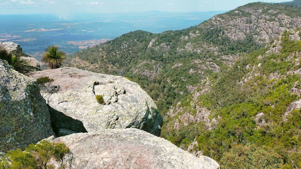
The summit isn’t anything too glorious, and it’s easy to think there are no decent views because of all the trees. But look out for the big boulders, which you can scramble onto for lovely vistas.
It took me just over an hour to reach the summit, and around 2.5 hours for the whole trail, including my summit stop and snake navigation time😆
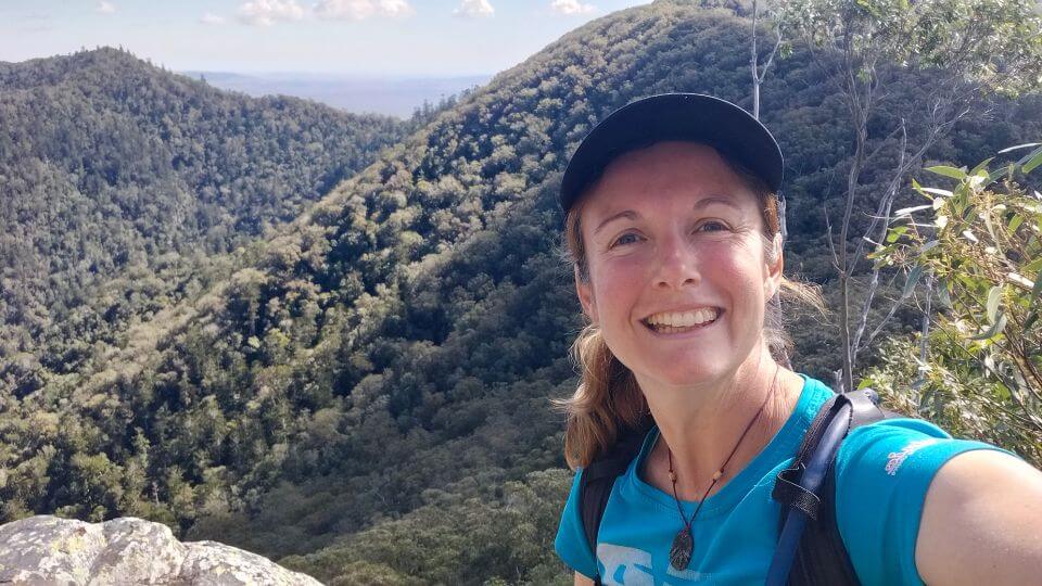
Mount Walsh
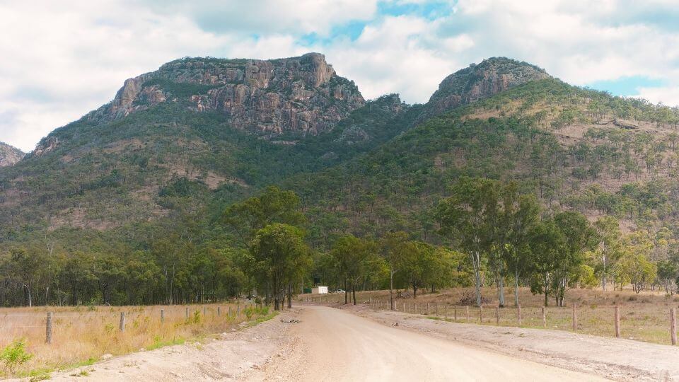
I was super excited to hike Mount Walsh before leaving the Bundaberg Region. This 3.4km grade 4 trail is the most popular in the North Burnett, and for good reason!
As you drive to the picnic area and car park, you get a majestic view of the towering mountain ahead, a first glimpse of its rugged beauty.
Sure, at 703m high (with 470m elevation gain on the hike), it’s not ginormous, but the rock face is very striking.
The walk leads you steadily up the mountain, with a challenging scramble near the top. Some of the reaches are pretty long. In hindsight, it may have been beneficial to have a hiking buddy to help with some of those challenging parts.
I found it a little hard to navigate the scrambling section, but I got there. My best piece of advice is to follow the pink ribbons. If you can’t find one ahead, then back track and try again.
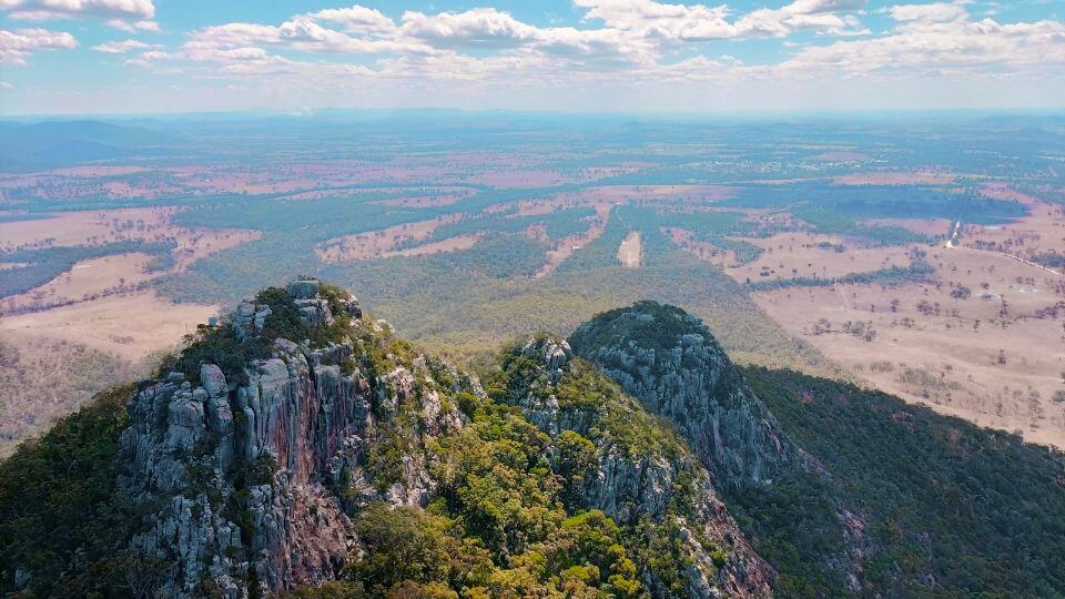
When you reach the top, you may think you’re at the peak. However, Mount Walsh’s peak is further to the right.
There’s no more climbing, but be sure to allow time to enjoy the summit, walking out to the various rocky outcrops to take in the stunning vistas all around.
I was feeling off the day I climbed Mount Walsh—not in top form! It took me longer than expected—1.5 hours to the top, 1 hour walking across and around the plateau at the top (including general exploring and relaxing time), and 1 hour down, so a total of 3.5 hours.
The climb up is quite exposed, so it can get stinking hot, which can slow the pace. It was only about 23 degrees when I went, but in the bright sunshine without tree cover, it felt much hotter.
I met several groups walking up the mountain, with group members ranging in age from 6 to 70 years old. Hats off to them all!
I definitely recommend this trail if you’re looking for decent hikes in the North Burnett region (it’s about 100km from Bundaberg).
best hikes near Bundaberg | In conclusion
All of the hikes above are accessible within a 90-minute drive of Bundaberg. If you only have time for one, Mount Walsh is the showstopper. However, Coalstoun Lakes is the easiest if you want something gentler. I also found some other hikes in the region during my research, but those that interested me were further from Bundaberg.
Traveling around the region? Then check out these top things to do for families in Bundaberg, Hervey Bay, Maryborough, Childers, and Woodgate.